
Featured topics
Topic 3D Tiles
4 articles


 Digital Twin
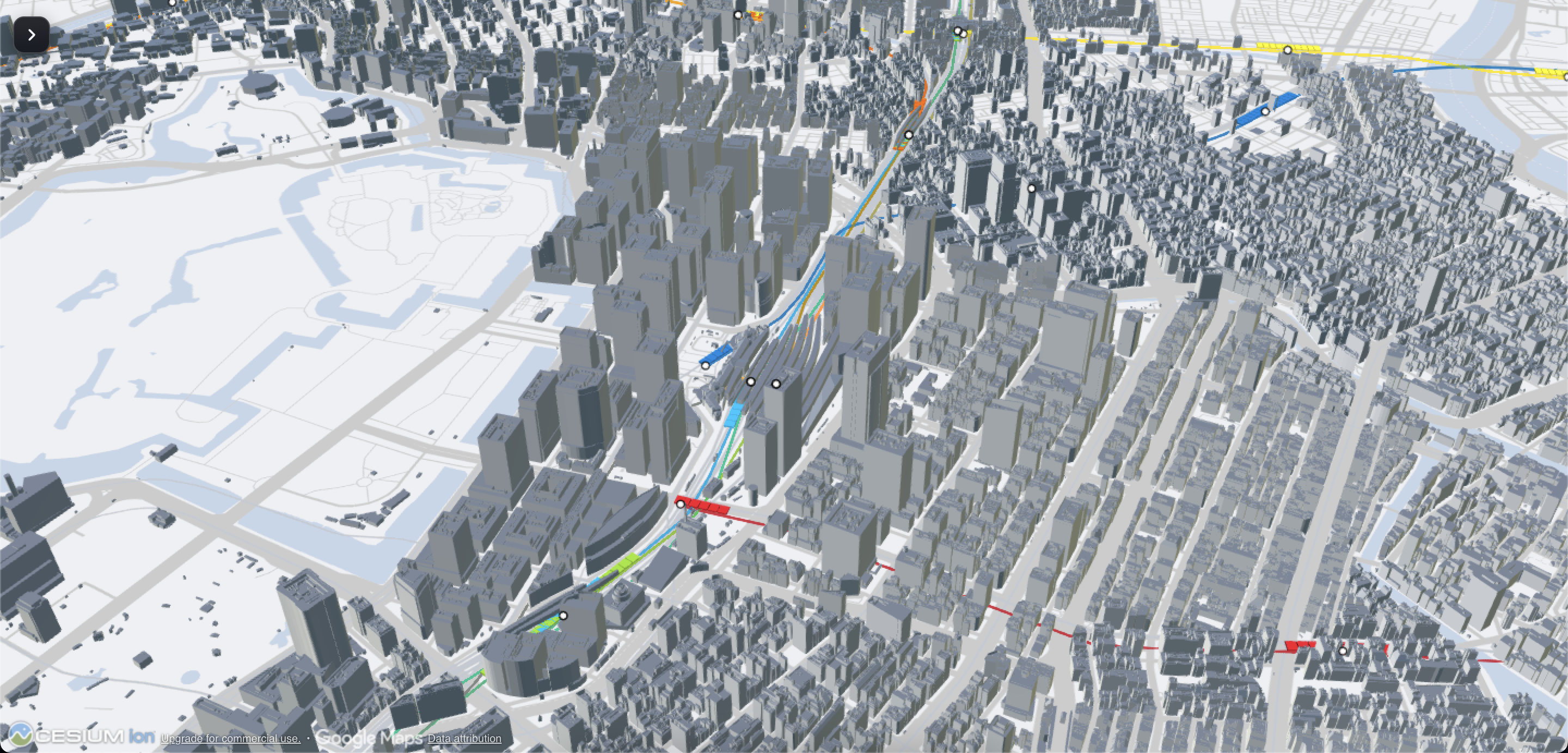
Integrating PLATEAU × ODPT in Cesium: Lessons from Connecting 3D City Models and Real-Time Railway Data
This article explains the challenges of integrating PLATEAU 3D city models with ODPT train data in Cesium. It covers coordinate systems, 3D Tiles, LOD, route inference, interpolation, OSM, API security, and how to distinguish real data from best-effort inference in a real-time 3D city.
 Geospatial & GIS
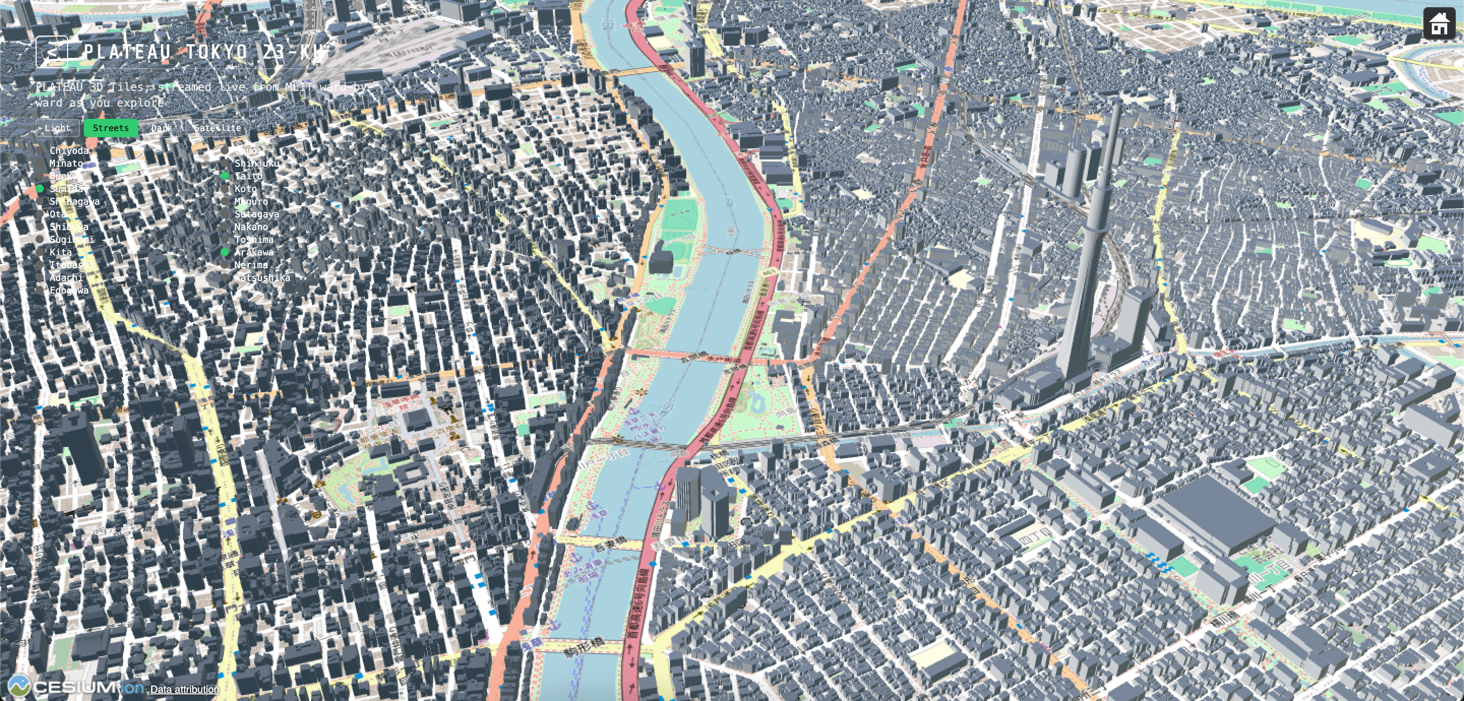
PLATEAU Tokyo 23-Ku: Explore Tokyo Through 3D Maps, Transportation, and Environmental Data
PLATEAU Tokyo 23-Ku combines PLATEAU 3D city models with JR East trains, Toei buses, bike share, JARTIC traffic, JMA rainfall, and air quality data. Learn how Cesium and 3D Tiles create a shared urban visualization environment for smart city and digital twin applications.
 3D
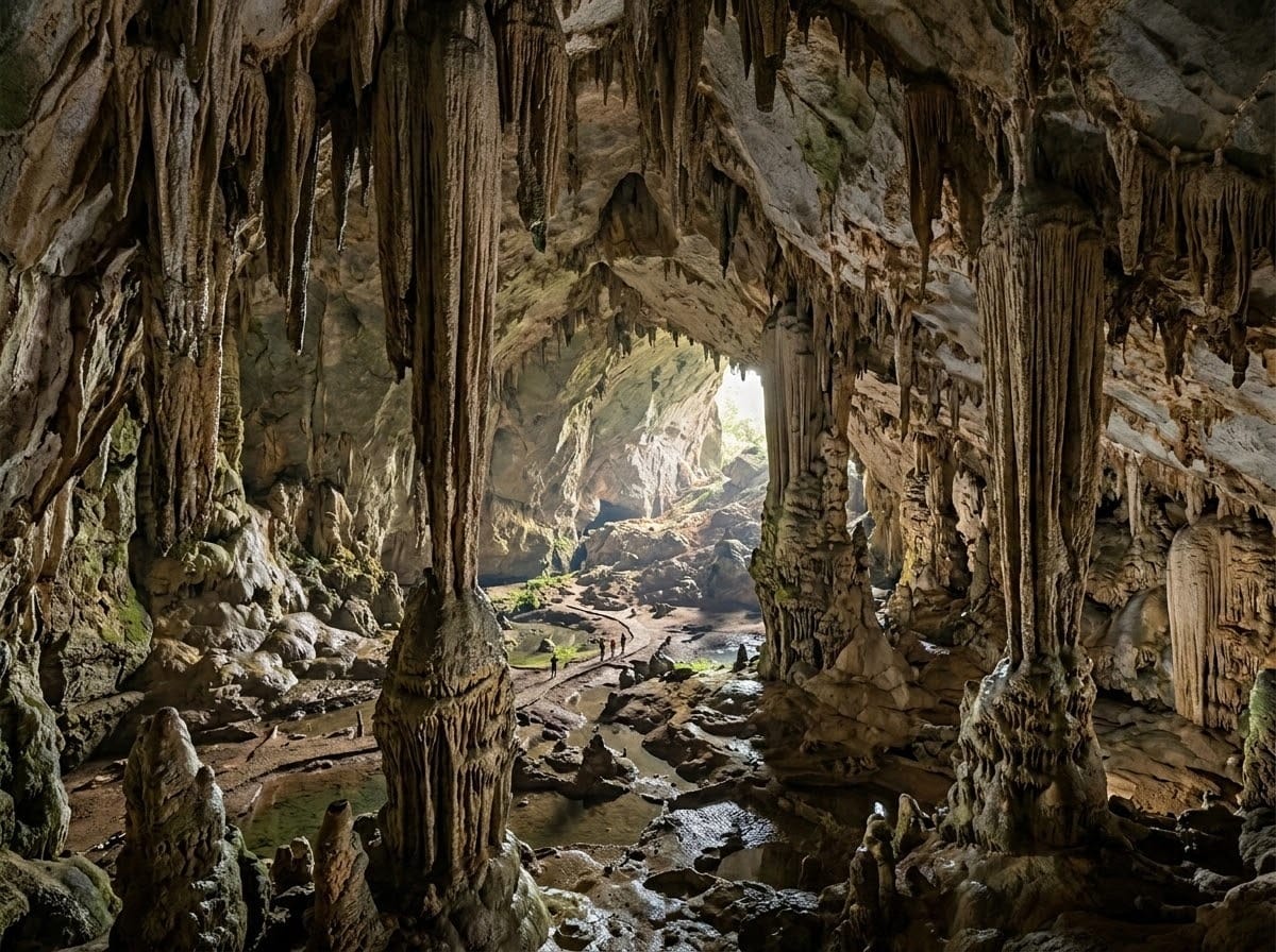
Lost in the Majestic Underground: When the Entire World of Caves Fits Within Your Sight
Cave Explorer turns real cave scans into an interactive web experience using point clouds, 3D Tiles, LOD, and real-time rendering. This article explains the data pipeline, browser performance challenges, remote exploration, digital heritage use cases, and future features.
 3D
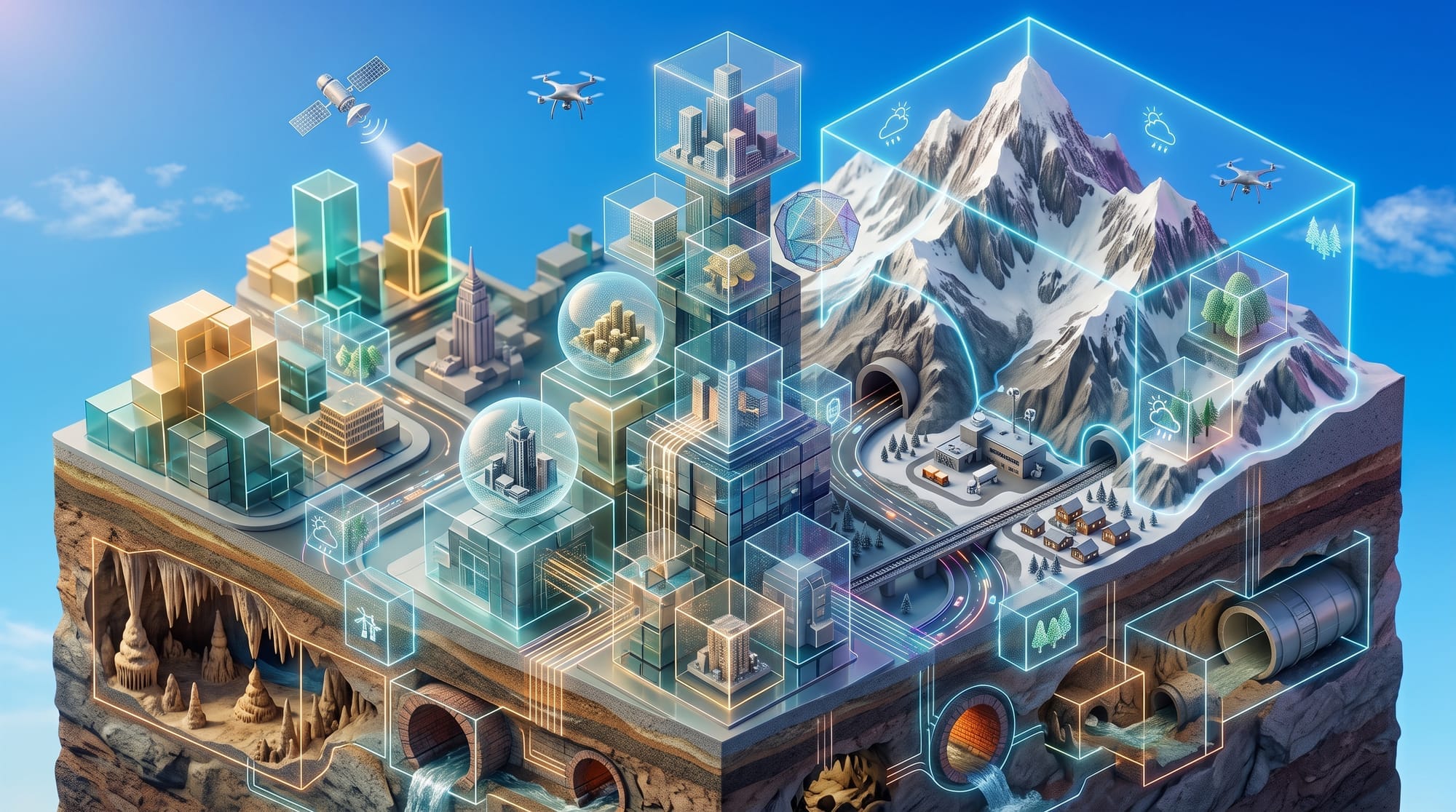
What Is 3D Tiles? A Complete Guide to Its Core Concepts, Latest Trends, and Use Cases
3D Tiles is an open standard for streaming massive 3D geospatial data. This guide explains HLOD, bounding volumes, tileset.json, differences between versions 1.0 and 1.1, use cases including PLATEAU and Google Photorealistic 3D Tiles, and independent LOD control in CesiumJS.
